Experience the transformative power of Spatial Computing in seamlessly integrating the digital and physical worlds
Introduction
Imagine a machine that interacts with your environment in real time, extending beyond a screen and into your physical space. This machine, known as spatial computing, recognizes your surroundings and understands dimensions and depths similarly to the human eye. Explore our guide to learn how it seamlessly integrates the physical and digital worlds.
What is spatial computing?
Spatial computing is a transformative approach to integrating the digital and physical worlds. This advanced computer interaction allows computers to perceive, analyze, manipulate, and interact with the 3-dimensional world.
In the 1960s and 1970s, computers worked in linear dimensional figures. The only way to interact with computers was the command line, that utilizes a text-based interface, where users type commands, such as running programs or other tasks.
The users would click ENTER, and the computer would run the program. This was the only way to manipulate the computer according to the user’s requirements.
However, with the technological shift, it allows you to manipulate your environment and integrate the physical and digital realms.
Simon Greenwold used the term Spatial Computing when he wrote about it in a master’s thesis. He said, “I define spatial computing as human interaction with a machine in which the machine retains and manipulates referents to real objects and spaces.”
Greenwold’s definition of spatial computing explains that the interaction between humans and machines is an exchange of inputs and outputs. This interaction involves human feedback, such as commands, gestures, or movements. Meanwhile, the machine produces by following the commands and imposing a 3D image of the physical space.
The machine utilizes various referents such as digital models, data points, or some other representation of the physical environment. The machine manipulates these data points, transforming, interacting, or augmenting the physical spaces differently.
To explain this, here is an example: imagine you are walking around in a showroom looking for a sofa. In this case, you can use spatial computing technology to visualize the sofa from different angles in your house. You can use an AR application on your smartphone or VR headset.
This technology leverages advanced computing algorithms to analyze the dimensions of physical space, enabling users to overlay a hyper-realistic 3-dimensional model of a sofa in their room. Intelligently merges virtual and natural environments, allowing for real-time visualization of physical layouts. It calculates dimensions instantly, so if a sofa doesn’t fit a particular space, the technology will indicate that it won’t fit.
Additionally, this technological field incorporates practices such as clean code, DevOps, Salesforce, and data analytics to maintain and enhance software.
DevOps combines software development and operations to facilitate system development and management. This methodology shortens the software development cycle and increases deployment frequency. It enables deployment, rapid iteration, and updates with spatial applications that interact with hardware and multiple data sources.
It manages the structure using Infrastructure as Code principles to manage the system via program code. DevOps has robust monitoring solutions that provide real-time data about the system’s health and performance.
Spatial computing has complex and interconnected applications, such as Clean Code, which require practice. The writing of code characterized by simplicity and consistency.
Clean code ensures that spatial algorithms and interfaces are clear, well-organized, and maintained. It promotes scalability within the spatial systems without increasing technical debt because, with time, spatial systems tend to grow in size and complexity. With a clean code, developers reduce bugs and allow easy integration of new features within the system.
How does spatial computing work?
Involves three stages: gathering the data, analyzing it, and acting. At the same time, it consists of a spectrum of technology to ensure an immersive experience and manipulate the space.
· Augmented Reality: Spatial Computing utilizes AR to overlay virtual content on physical spaces.
· Virtual Reality: VR provides an entirely realistic portrayal of the physical world but in a virtual world isolated from the environment.
· Computer Vision: Computer vision analyzes images, graphics, or other visual data through algorithms. They help gain meaningful insight from the visuals. It imitates the human visual perception process. It involves image recognition, object detection, image segmentation, and object tracking.
· Machine Learning: Machine learning involves analyzing spatial data to create experiences within spatial computing systems. It identifies patterns and makes predictions to enhance the efficiency of spatial systems.
· Mapping: In spatial mapping, the sensors provide data, that is, utilized to create a 3D representation of the physical space, including 3D models, spatial meshes, and point clouds.
· Haptic feedback systems: These feedback systems simulate tactile sensations to users involving touch, pressure, and texture.
· Internet of Things (IoT): IoT connects a network of physical devices that exchange data with each other and sense human experiences from the environment.
· Edge Computing: Edge computing involves data processing locally without sending the data to centralized data centers. It facilitates real-time interaction within applications.
Here is how spatial computing integrates the technology to gather and analyze data and perform the action.
The initial step is data capture. This process involves gathering data from the physical environment using cameras, depth sensors, motion trackers, radars, inertial measurement units, and LiDAR. These sensors collect detailed information about the space’s geometry and general characteristics.
After this, different data from various sensors fuse to create an accurate and precise understanding of the physical environment. This paves the way for spatial mapping.
As the name shows, this step involves creating a digital map with a spatial layout, 3D angles, and surfaces such as edges, corners, and objects. Algorithms further use machine learning and computer vision to understand the context of the space. After collecting all the data, spatial computing utilizes AR, VR, and MR to overlay the vertical content on the surroundings.
This augmentation is achieved through output devices such as AR glasses, VR headsets, etc., rendering and displaying realistic visuals in the physical environment. To ensure dynamic interaction, it’s systems use a haptic feedback system.
This allows them to touch and sense virtual objects. Lastly, for real-time interaction, spatial computing utilizes edge computing. It stores information on the edges without sending it to a centralized data unit, ensuring increased bandwidth and reduced latency.
What is the difference between AR and spatial computing?
Spatial computing covers a broader concept than augmented reality. Augmented reality is a technology that overlays visual, sensory, or auditory information onto the real world. It increases our perception by overlaying digital content, such as videos, images, graphics, etc., onto physical objects.
AR is a fully immersive experience that increases our experiences by adding virtual elements. For example, Snapchat or Instagram filters overlay on selfies, augmenting with various videos, animations, and virtual graphics. Similarly, games like Pokémon Go are AR games that overlay the creatures in your physical environment. Users can use camera functionalities and smartphone screens to capture the Pokémon that happens to be in the physical world of users.
However, spatial computing is an umbrella term for augmented reality. It utilizes the concepts of AR, but unlike augmented reality, it blurs the difference between the physical and digital worlds.
Unlike AR, SC overlays and interacts with physical space. It utilizes techniques like simultaneous localization and mapping (SLAM) to track and measure the user’s accurate position and direction. This technique helps with the precise alignment and placement of virtual content. Although AR also places virtual elements in physical space, spatial computing interacts more with 3-dimensional spaces.
Furthermore, spatial mapping involves more dynamic mapping, interaction, and manipulation of the physical space. It has more advanced sensor technologies, Artificial intelligence, and algorithms. These algorithms help interpret dimensions, data, geometry, and surfaces.
Augmented Reality (AR) overlays virtual elements onto physical spaces but lacks dynamic mapping as it does not involve interaction or manipulation within the physical environment.
Augmented reality is commonly used in applications such as gaming, navigation, and marketing visualization. In contrast, spatial computing is applied across a wide range of fields including gaming, manufacturing, industry, healthcare, education, and road traffic analysis. Regarding development, AR apps are generally easier to create, while SC applications require more advanced tools and systems.
What is the difference between VR and spatial computing?
The main difference is that VR replaces the real world with a virtual environment, while spatial computing blends the real and virtual worlds, it users can see and interact with virtual elements overlaid on physical objects. Virtual reality is primarily used for immersive experiences like gaming, simulations, or virtual tours and relies on headsets, controllers, and motion sensors for interaction.
In contrast, spatial computing involves a broader range of technologies including augmented reality, mixed reality, AI, IoT, and various sensors. This field extends beyond immersive environments to enhance real-world interactions with digital overlays and inputs. SC devices might include AR glasses and MR headsets, integrating multiple advanced technologies for a more integrated experience.
What is the difference between Edge Computing and spatial computing?
Edge computing and spatial computing are different in how they work with data. Edge computing is data processing, whereas spatial computing is digital-physical integration using data analytics. Edge computing operates upon the principle of proximity.
Data processing is close to the source where data is generated.
It means it processes data locally or near the source at an ‘edge.’ It processes data without sending it to the central data center. This results in lower latency, alleviating the bandwidth demands required for real-time interaction.
To understand edge computing, imagine a security camera in a shop that detects motion and sends signals. When it detects motion, the camera sends signals to your smartphone. The camera is an edge where the data is stored. Instead of sending the signals to the centralized unit for analysis, through edge computing, the camera directly sends the signals to the smartphone, resulting in a faster information transfer without any noticeable delay.
Spatial Computing operates on real-time data integration. Edge computing enables spatial computing applications to operate effectively by providing the necessary computational power when needed. For instance, an AR headset might use edge computing to quickly transfer the data to overlay virtual content in physical space without delay.
Edge computing concerns where and how data is processed, whereas spatial computing concerns how we use that data to bridge physical and virtual spaces. Therefore, edge computing is used in Internet of Things applications.
The purposes of edge computing and spatial computing are different. Edge computing increases the efficiency of distributed computing systems, whereas spatial computing enhances human and computer interaction and perceptions. It moves beyond the static representation of objects to create a dynamic interaction.
What are the benefits of spatial computing?
Product Understanding:
Developers, designers, and engineers use spatial computing to better understand products. However, with the 3D modeling, designers can explain every stage of development, hence improving understanding.
Enhanced Creativity:
Spatial computing promotes creativity and innovation. It offers numerous possibilities for the innovation and development of new applications. It has given users new perspectives by providing simulations in the healthcare context, art installations, retailing, innovative city initiatives etc.
Augmented learning:
Spatial computing promotes augmented learning, especially in the education and training sector. It increases the educative experience of learners by providing simulations, virtual tours, science projections, etc. Similarly, it helps trainers in skill development. They practice through immersive training scenarios to learn and hone their skills.
Cost Reduction:
Companies can reduce their costs by using 3D projects via spatial computing. In the development stages, they can visualize all the data in real time to create accurate and precise infrastructure or models without errors ensuring error-free workflow in industries by providing real-time data and visualizing 3D models.
Immersive Experience:
Spatial computing bridges the distance between the physical and digital worlds by creating realistic, intuitive interfaces to enhance human and machine interaction. Imagine sitting in the front row in a concert but virtually yet having the same physical experience of watching your favorite singer and the crowd. The single-screen interface is removed between the digital world, and you are in the virtual world within the physical space.
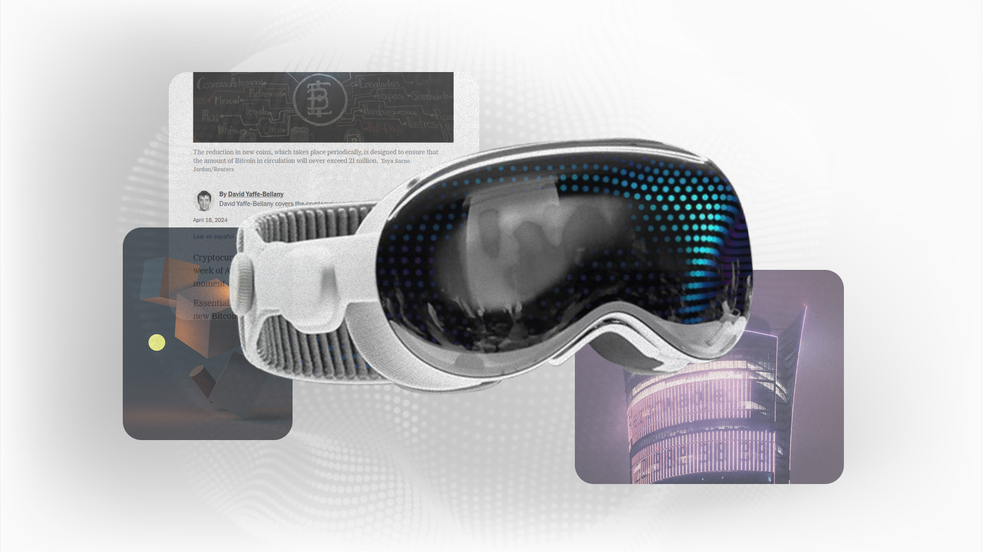
What is Apple spatial computing?
Apple spatial computing refers to integrating Augmented reality and spatial computing technology within their devices to create an interactive blend of virtual and physical worlds. In a press release in 2023, Apple announced its first spatial computing program, Apple Vision Pro.
This device promises to revolutionize the computing industry with its impressive resolution and extensive array of sensors, facilitating a smooth transition between virtual and physical realms. Leveraging Apple’s ARKit framework, equipped with cutting-edge sensors, cameras, and processing capabilities, developers can craft immersive augmented reality (AR) experiences tailored for iOS devices like iPhones and iPads.
Moreover, Apple Vision Pro has AR glasses that provide accurate spatial mapping, motion tracking, and object identification, providing accurate spatial data for creating a dynamic map of virtual and physical elements. Additionally, Apple has incorporated spatial audio into its devices to adjust the user’s auditory experiences. Through motion tracking, apple spatial computing technology detects the user’s head’s movement and direction, changing the audio accordingly. Apple spatial computing has integrated Artificial intelligence, Augmented Reality, Virtual Reality, and Mixed Reality to blur the lines between digital and physical environments.
Where Businesses Are Using Spatial Computing?
- Data Analytics: Spatial Computing is making its way in data analytics, enabling companies to visualize complex data sets. It showcases complex data points otherwise missed in 2- dimensional data visuals. Spatial computing represents the set in 3D spaces. For instance, businesses involved in urban planning might utilize AR and spatial computing to overlay census data to understand population distributions.
- Training and Skill Development: Businesses use spatial computing to enable employees to hone their skills in a virtual environment. AR helps employees visualize digital content, whereas VR helps employees practice efficiently using hand gestures or input devices. This technology simulates real-world situations, enabling workers to perform operational activities. For instance, a pilot might use real-world simulations to operate the plane more effectively.
- Healthcare: Healthcare employs spatial computing by superimposing surgery procedures to aid doctors in precision and accuracy during surgeries. This provides more opportunities for better medical diagnosis, patient care, and need-based treatment.
- Geo-collaborative systems: In geo-collaboration, the systems aid the interaction between various elements within a geographic space. It supports interaction between geographically referenced data. As geo-collaborative systems handle geospatial data, urban planners use this system to work and analyze data in real time. Planners can utilize maps, data, and models for infrastructure development, environment, and ecological consultation. Similarly, these systems enable the collaboration between moving objects (vehicles and pedestrians) and fixed structures such as traffic control centers, helping to analyze and optimize traffic signals to reduce congestion.
- Design and visualization: Spatial Computing helps designers and engineers immensely with visualization. They analyze the 3D models at each step to create better structures and designs. Additionally, 2D screens limited designers while presenting their ideas. With spatial computing, designers can present their ideas in 3D spaces to enhance the audience’s understanding.
- Remote Collaborations: With the world being shifted to online mode and virtual meetings merely through a screen, spatial computing enhances communication through immersive experiences. Workers can collaborate with other clients through 3D experiences. Furthermore, employees who work intricately and in detail can seek expert reviews and guidance through 3D space. For instance, a mechanic can use spatial computing to seek peer reviews while working on a car repair.
- Retail and Real Estate: In shopping, retailers use spatial computing to give buyers an immersive experience. Through spatial computing, customers can view how specific furniture looks in their physical spaces. Similarly, real estate agents use spatial computing to propose virtual tours of properties. The potential buyers can explore properties without being physically present.
- Location-Based Services: Businesses incorporate location-based services through spatial computing. It helps them analyze real-time traffic situations and provides information about potential routes. This aids them in saving fuel costs and time by opting for the best routes.
- Entertainment and Gaming: The gaming industry has been continuously evolving, and day by day, gamers are becoming passionate about immersing themselves in virtual experiences. This technology is perfect for gamers as it provides a completely immersive experience of a virtual world in their physical surrounding. Similarly, gamers can attend virtual gaming sessions through spatial computing. In entertainment, users can realistically participate in virtual concerts or interact with their favorite celebrities through AR glasses.
- Military: In the US, the military has collaborated with Microsoft to utilize spatial computing technology in surveillance, situational awareness, and enhanced experience. Integrated Visual Augmentation System provides soldiers with high-resolution night vision, thermal imaging, and weapon sensing.
- Remote Sensing: Spatial Computing is used in remote sensing. Companies employ remote sensing satellites to process and interpret data from land changes. They use it to manage resources, such as forests and water management. This also helps in global-scale environment monitoring for agriculture and environment protection.
- Salesforce: Salesforce utilizes spatial data to conduct marketing campaigns. Salesforce is a cloud-based platform that drives sales, manages the market, and provides customer service. Salesforce acts as a central unit storing information related to customers. It utilizes spatial analytics to conduct location-based marketing, highlighting demographics related to territories and performance.
Is spatial computing the future?
With the advent and rising technological evolution, spatial computing is a contender shaping the technological future. It has shifted the way people interact with the digital and physical world. It provides a natural interaction between humans and machines through hand movements, gestures, and voice commands. Moreover, it is compatible with AI, IoT, computer vision, and sensor fusions.
Big companies like Apple have introduced Apple spatial computing, indicating their high interest in this technology. Many companies have invested in and utilized this technology for enhanced operations, better productivity, and market gains.
Similarly, users are equally interested in this technology that provides real scenarios, simulations for better experiences, and immersive human-machine interaction. This technology will likely change how we interact with our physical environment, integrating the blend of the virtual and real world.
Conclusion
To conclude, spatial computing has mixed digital and physical worlds by providing immersive and dynamic interaction. In the evolving technological landscape, Spatial Computing is a revolution enhancing creativity, promoting productivity, and enabling augmented learning. The demand for spatial computing will increase shortly, thus revolutionizing how we interact with machines in the virtual and physical world. Businesses are utilizing spatial computing for enhanced operations.
BRQ can help your business by providing cloud solutions and augmentation to accelerate development. Contact us now to leverage spatial computing for your business.